Reporters: Dr. Jaray Suwannachart, Asst.Prof.Dr. Tachaya Sangkakool, Asst.Prof.Surawat Moogem, Tussawan Thong-on, Natrada Boonthad and Natpakal Poolperm
Evidence Date: December 17, 2024
Related SDGs:
Related Indicators: 11.4.7
Details: Supporting details and pictures
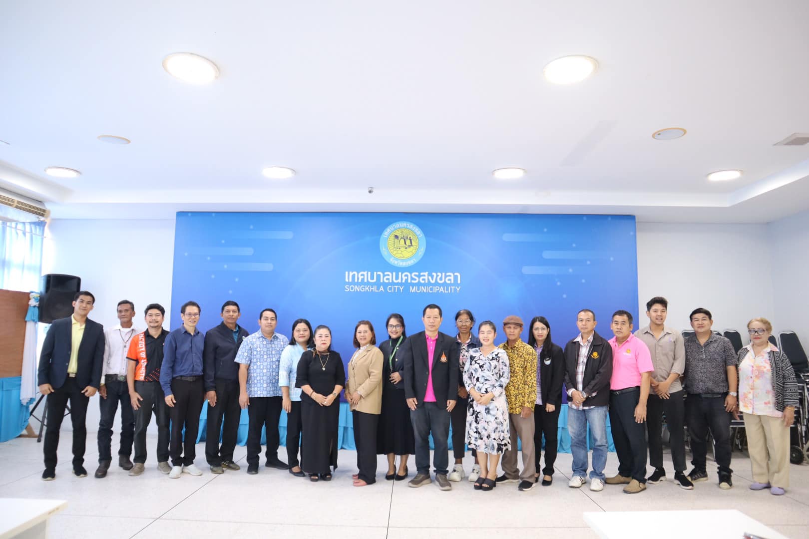
Lecturers and students from the Urban Planning Program led by Lecturer Nontaros Phakman, with co-researchers Lecturer Jameekorn Malison and Asst. Prof. Torlap Karnpluemjit held a meeting to present approaches for developing a landscape improvement map for the Khlong Samrong waterfront. The project integrates aerial imagery (UAV/remote sensing) with public participation to formulate comprehensive strategies for revitalizing the urban canal landscape. Representatives from local agencies, communities, and students joined an active exchange of ideas.
Objectives and Expected Outcomes
- Upgrade waterfront landscape and public utilities to be safe, accessible, and inclusive for all.
- Establish a participatory planning process that connects academic data with lived local experience.
- Produce a guidance map as policy/project reference for relevant agencies.
- Reinforce Khlong Samrong’s role as an urban ecological backbone and public space, supporting health and active mobility (walking–cycling).
All suggestions from the meeting will be synthesized and used to refine datasets and design proposals before being delivered to relevant agencies. Progress updates will be communicated to communities and stakeholders in subsequent phases.
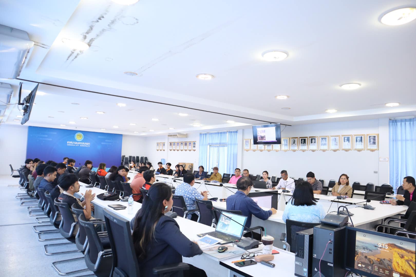
Through collaboration among the university, municipality, and communities, the project aims to transform Khlong Samrong into a safe, accessible, and vibrant urban landscape corridor, paving the way for on-the-ground implementation in the next stages.
Related Links: