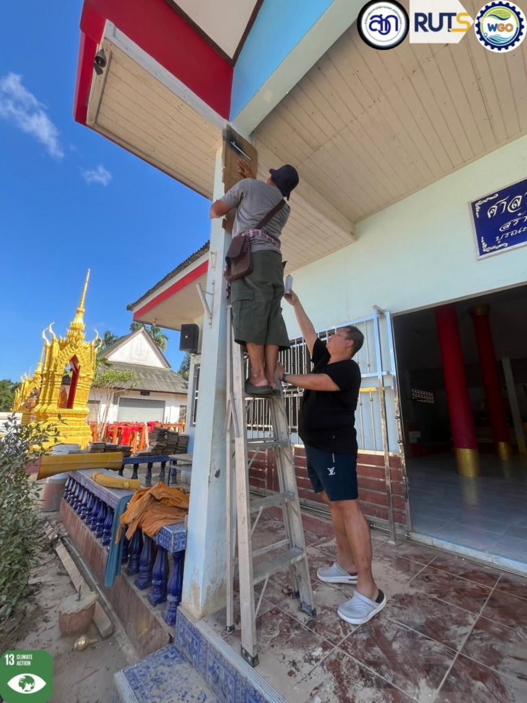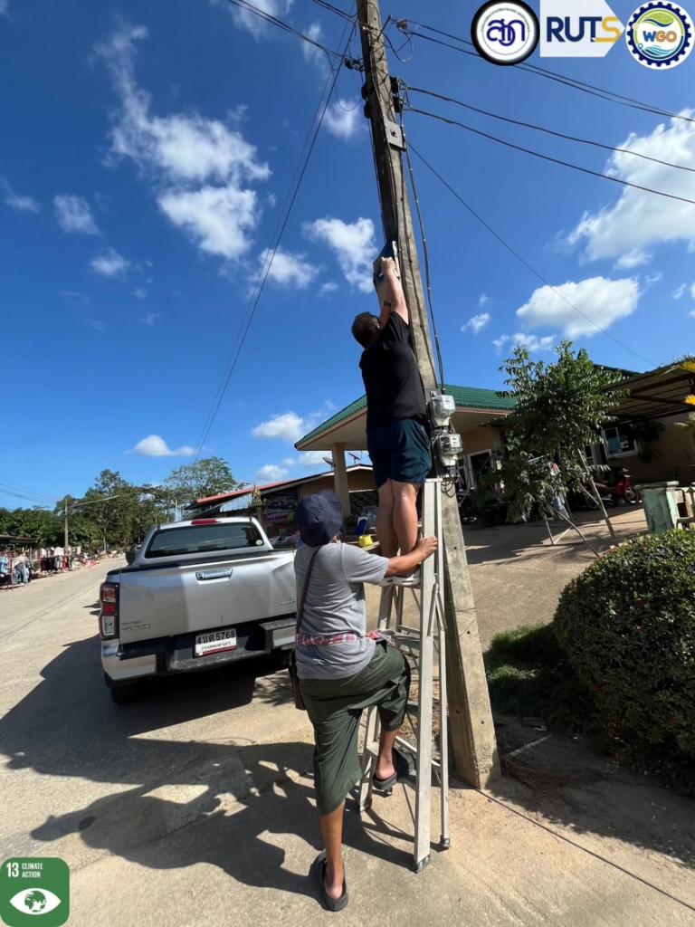
Rajamangala University of Technology Srivijaya (RUTS) supports climate-related risk monitoring and early-warning preparedness through research, automated monitoring systems, and collaboration with government agencies and research partners. Its initiatives include salinity forecasting in the Songkhla Lake Basin, automated rainfall monitoring in Phatthalung, and flood-level surveys in the U-Tapao River Basin. These efforts provide information to support flood and drought risk assessment, water-resource management, and disaster preparedness in southern Thailand.
RUTS Supports Government Climate-Risk Monitoring through Water Monitoring and Salinity Forecasting Systems
Rajamangala University of Technology Srivijaya (RUTS), through its Water Management Innovation and Geoinformatics Research Unit, supports government agencies and local communities in monitoring water-related risks through automated monitoring and forecasting systems in the Songkhla Lake Basin. These systems provide information relevant to drought, saltwater intrusion, rainfall variability, and flooding, which can affect agricultural activities, aquaculture, and local livelihoods.
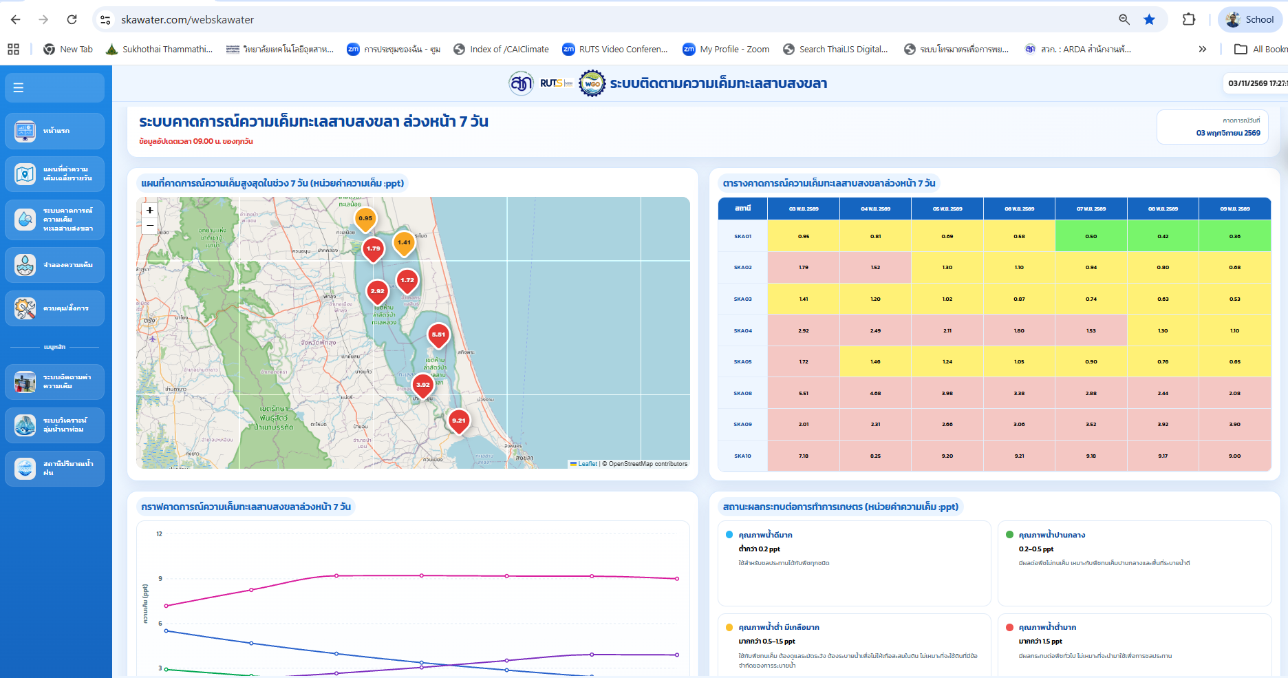
RUTS has developed and installed automated salinity and rainfall monitoring stations across the Songkhla Lake Basin. Data collected from these stations are integrated into an online water-monitoring platform, enabling users to observe changes in water conditions and rainfall patterns. The university has also developed a seven-day salinity forecasting system that presents predicted salinity levels at monitoring locations through maps, tables, and graphs. This information can help water users anticipate changes in salinity and consider appropriate water-management responses.
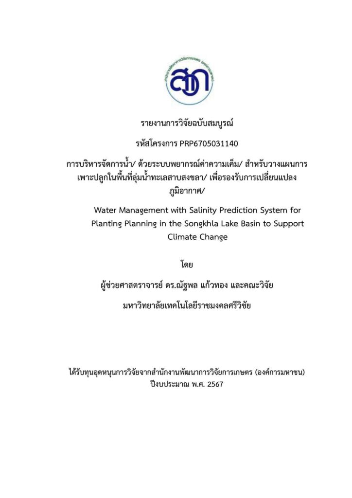
RUTS also completed the research project entitled “Water Management with Salinity Prediction System for Planting Planning in the Songkhla Lake Basin to Support Climate Change” and delivered its research outputs to the relevant government agency. The project developed salinity prediction approaches to support agricultural water management and planting decisions under changing climatic conditions. Its findings provide technical information to support the assessment of salinity-related risks and the development of appropriate water-management responses.
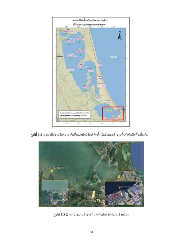
The monitoring and forecasting information is publicly accessible through the university’s online platform at https://www.skawater.com/webskawater. The platform provides access to real-time salinity monitoring, rainfall station information, and flood-monitoring information for the Khlong Na Thom Basin. Monitoring information is also disseminated through the LINE application to relevant government agencies, including provincial agriculture and cooperatives offices, district fisheries offices, and local irrigation operation and maintenance projects. These information-sharing channels support government agencies in monitoring changing water conditions, assessing potential risks, and preparing appropriate responses to drought, saltwater intrusion, and flooding.
RUTS Installs Automated Rainfall Monitoring Station to Support Flood Early Warning in Phatthalung
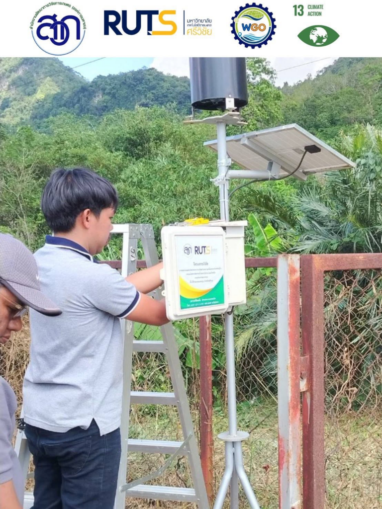
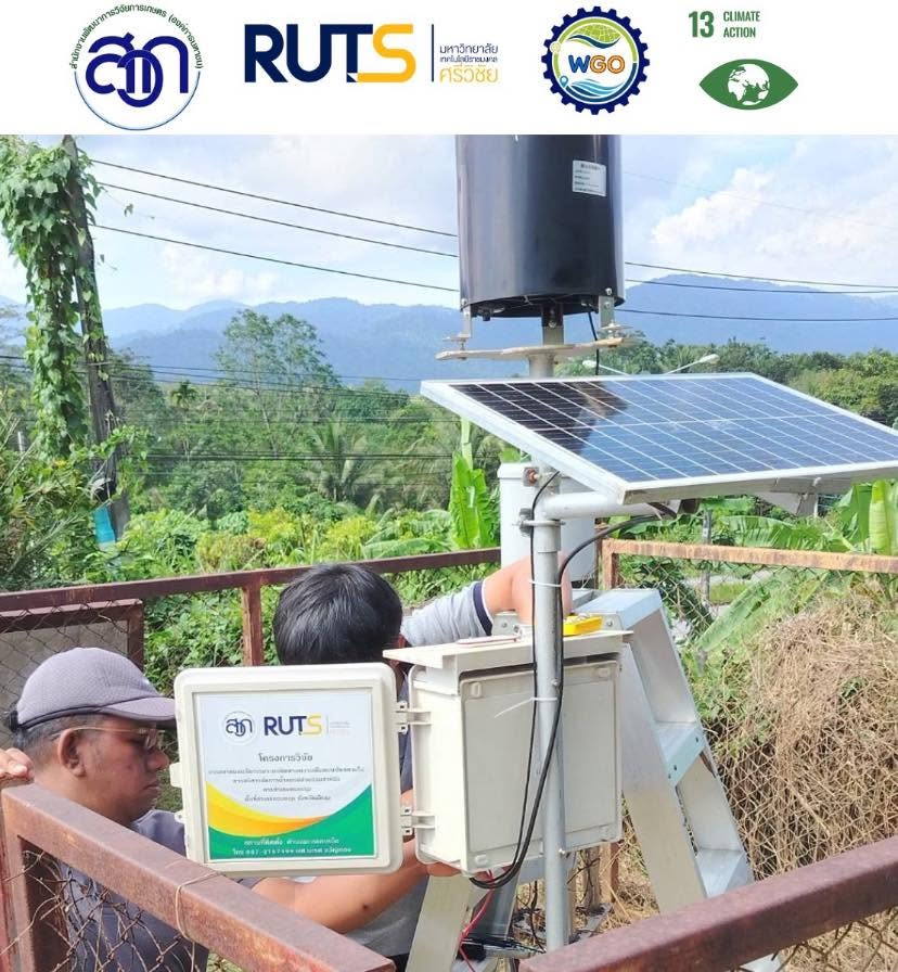
Rajamangala University of Technology Srivijaya (RUTS), through its Water Management Innovation and Geoinformatics Research Unit, participated in the installation and testing of an automated rainfall monitoring station in the Khlong Na Thom Basin, Phatthalung Province. The initiative forms part of a collaborative water and disaster management project supported by funding from the Agricultural Research Development Agency (ARDA), a public organisation, to strengthen flood monitoring and early-warning preparedness in flood-prone areas.
The station was installed in the upstream area of the Khlong Na Thom Basin in Srinagarindra District, where rainfall monitoring is important for assessing potential flash-flood risks affecting downstream agricultural and urban areas in Mueang Phatthalung District. The automated system is designed to collect and transmit rainfall data continuously, providing information for monitoring rainfall conditions and anticipating possible increases in flood risk during the monsoon season.
The monitoring system is intended to support relevant agencies in assessing rainfall conditions and preparing timely responses to potential flooding. The information can also assist local communities and farmers in anticipating flood-related risks and taking preventive measures to protect agricultural production, livestock, and property.
RUTS Collaborates with Research Partners to Map Flood Levels and Support Flood-Risk Monitoring in the U-Tapao Basin
Rajamangala University of Technology Srivijaya (RUTS), in collaboration with Prince of Songkla University and the Thailand Natural Disaster Research Network (TNDR), conducted field surveys to document floodwater levels through flood marks across the U-Tapao River Basin in Songkhla Province. The initiative aims to improve understanding of flood patterns and provide field-based information for flood-risk assessment, modelling, and disaster preparedness.
The research teams surveyed locations across the upper, middle, and lower sections of the basin. Upstream areas included Ban Phru and Ban Rai municipalities, where heavy rainfall and surface runoff contribute to water flows towards Hat Yai. In the middle basin, surveys covered Kho Hong and Hat Yai municipalities, where flooding can affect residential communities, transportation, and economic activities. Downstream surveys included Ko Yo, Khu Tao, and Bang Klam, where floodwater flows towards Songkhla Lake.
The flood marks document observed floodwater levels at locations with different hydrological characteristics. These measurements provide information for mapping flood extents, identifying vulnerable areas, and improving rainfall–runoff and hydraulic models, including HEC-HMS and HEC-RAS. The resulting information is intended to support more accurate flood-risk assessments and inform flood-prevention planning for communities and economic areas throughout the basin.